Varkava (04/22)

Home  /  Airfields  /  Current Page
×General

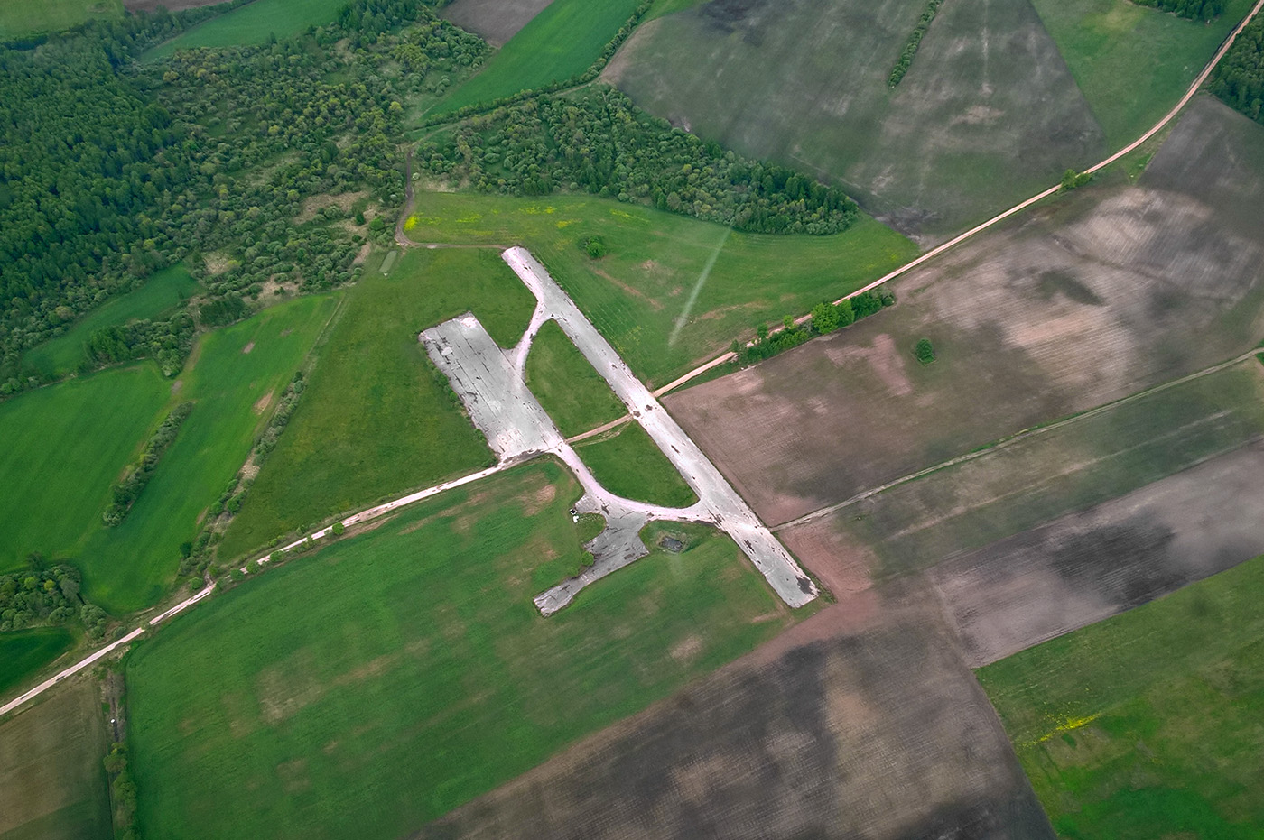
Former agricultural airfield let down in a quite poor state. A road is crossing the field, sand and dirt is on the runway. There are also several bushes on both sides of the runway. South of the airfield there is are fields with bushes, thereby landing on 04 and takeoff on 22 is not recommended. North of the field situation is slightly better, still there are trees quite close to the runway. Generally this airfield is only suitable for emergency use.

Effectivity: 2016-05-19

Location: 2 km SW of Varkava village, 13km SW of Preili town
Get Directions →

+Details

Status: Uncertified

Condition: Bad - obstacles and runway contamination

Ownership: Private

+Runway

Direction: 04/22

Dimensions: 400x20m

Surface: Asphalt

Elevation: 102m / 335ft

+Obstacles

Approach: Trees/bushes 280m from THR RWY22; bushes 100m from THR RWY04

Airfield: Sand and dirt on the RWY due to crossing road; bushes on both sides of the runway

+Other

Radio frequency: 123.95 MHz

Fuel availability: NIL

+Gallery
+Meta

Posted: July 7, 2013

Author:

Category: Airfields, Usable airfields

+Comments

Leave a Reply